Infrastructure BIM Services for Roads, Bridges & Utilities
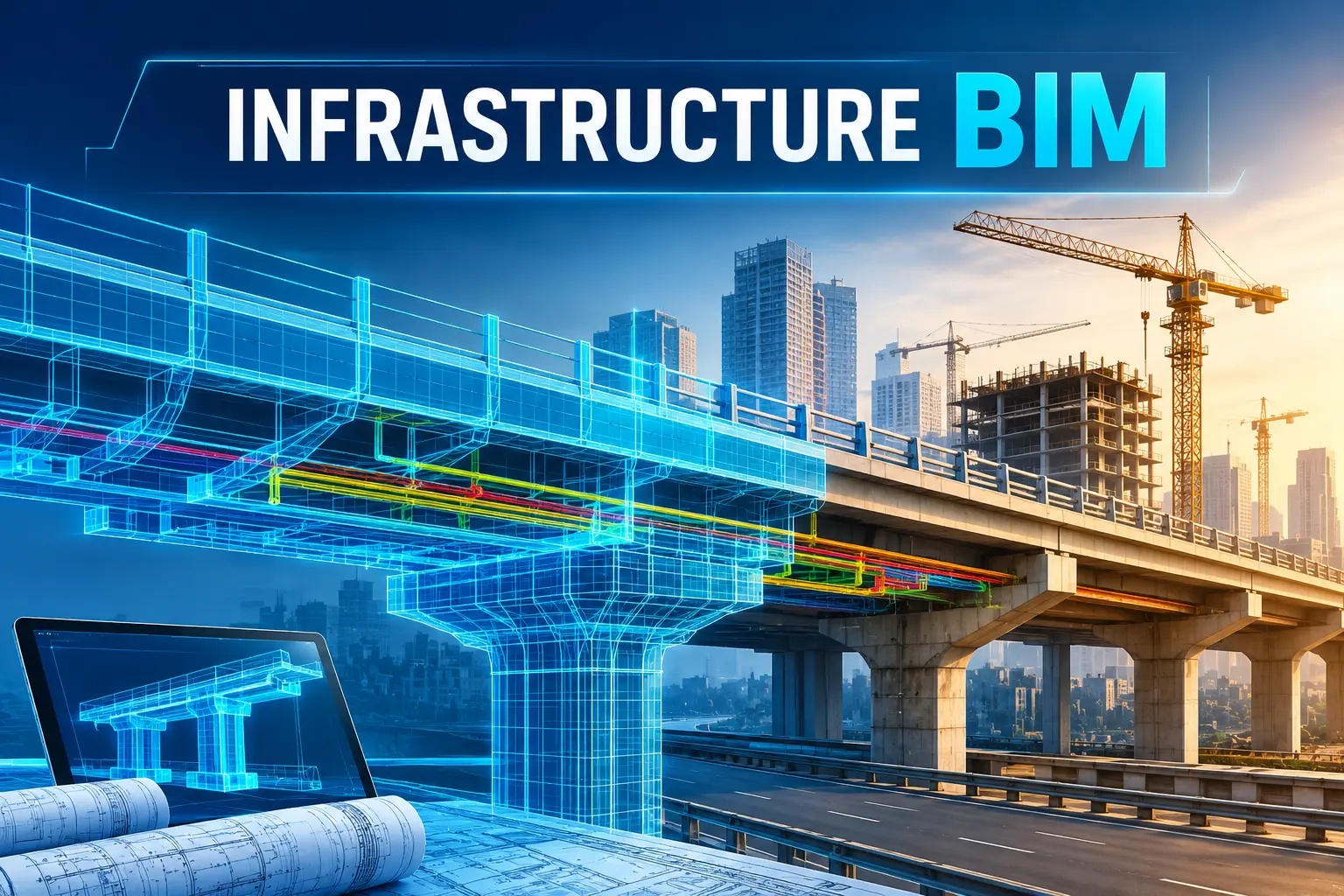
Infrastructure projects such as roads, bridges, highways, water networks, drainage systems and utility corridors require accurate planning, coordination and data management throughout their lifecycle. Infrastructure BIM services help engineering consultants, contractors, developers and government agencies create coordinated digital models that improve project planning, design accuracy, construction coordination and asset management.
What Are Infrastructure BIM Services?
Infrastructure BIM, or Building Information Modeling for infrastructure projects, is a digital approach for creating, managing and coordinating information related to civil infrastructure assets.
Unlike conventional 2D drawings, an infrastructure BIM model can contain both the geometry and engineering information associated with roads, bridges, drainage networks, water pipelines, utilities and other assets.
Infrastructure BIM services may include:
- Civil 3D and infrastructure modeling
- Road and highway BIM modeling
- Bridge BIM modeling
- Utility and underground infrastructure modeling
- Drainage and stormwater network modeling
- Water supply and sewerage network modeling
- Survey-to-BIM and reality capture
- Point cloud to BIM modeling
- BIM coordination and clash detection
- 4D construction simulation
- 5D quantity and cost integration
- As-built BIM modeling
- GIS and BIM integration
- Digital twin development
BIM Services for Roads and Highways
Road and highway projects involve multiple design elements, including alignments, profiles, corridors, junctions, drainage, utilities, structures and terrain.
Road BIM services help bring these components together within a coordinated digital environment.
Typical road infrastructure BIM deliverables include:
- Existing terrain and topographic modeling
- Horizontal and vertical alignment modeling
- Road corridor modeling
- Pavement and road geometry modeling
- Intersections and junction modeling
- Cut-and-fill analysis
- Road drainage modeling
- Culvert and minor structure modeling
- Utility coordination
- Quantity extraction
- Construction documentation
- As-built BIM models
Bridge BIM Modeling Services
Bridges require coordination between structural, civil, geotechnical and transportation disciplines. Even a small design change can affect multiple components of the project.
Bridge BIM modeling services provide a detailed digital representation of bridge components and their relationship with surrounding infrastructure.
BIM for Utility Infrastructure
Underground utilities are one of the biggest coordination challenges in infrastructure construction. Water pipelines, sewer lines, stormwater drains, electrical cables, gas pipelines and communication networks may occupy the same corridor.
Utility BIM modeling can cover:
- Water supply networks
- Sewerage networks
- Stormwater drainage
- Electrical utilities
- Telecommunications
- Gas pipelines
- Existing underground services
- Utility chambers and manholes
- Pumping and treatment infrastructure
Scan-to-BIM and Survey-to-BIM for Infrastructure
Accurate existing-condition information is critical when working with existing roads, bridges, utilities and other infrastructure. Scan-to-BIM services can convert point cloud, LiDAR or laser scanning data into usable digital models. This approach is particularly useful for rehabilitation, widening, renovation, retrofit and expansion projects where accurate existing-condition data is required.
BIM Coordination and Clash Detection
Infrastructure projects involve multiple disciplines working within the same physical corridor. A road project, for example, may interact with drainage, electrical utilities, water pipelines, sewerage networks and structures.
BIM clash detection services help identify conflicts between these elements before construction.
Potential clashes may include:
- Utility versus foundation conflicts
- Pipeline versus drainage conflicts
- Road versus existing utility conflicts
- Bridge components versus utilities
- Drainage structures versus underground services
- Design elements conflicting with existing infrastructure
4D BIM for Infrastructure Construction
4D BIM connects the BIM model with the construction schedule. For roads, bridges and utility projects, 4D BIM can help visualize construction sequences and identify potential scheduling issues.
Applications include:
- Construction sequencing
- Road construction stages
- Bridge erection planning
- Utility installation sequencing
- Traffic diversion planning
- Site logistics
- Progress visualization
- Construction schedule review
5D BIM for Quantity and Cost Management
5D BIM connects model elements with quantities and cost information.
For infrastructure projects, this can support:
- Quantity takeoff
- Material estimation
- BOQ development
- Cost planning
- Variation management
- Quantity comparison
- Construction cost monitoring
BIM and GIS Integration
Infrastructure assets are strongly connected to their geographic location. Combining BIM and GIS can provide both detailed engineering information and broader geographic context.
GIS-BIM integration can be useful for:
- Road networks
- Utility corridors
- Water infrastructure
- Sewerage systems
- Bridges
- Drainage networks
- Municipal infrastructure
- Infrastructure asset management
Benefits of Infrastructure BIM Services
Implementing BIM on infrastructure projects can provide several benefits:
· Improved Design Coordination: Multiple disciplines can work within a coordinated digital environment, reducing inconsistencies between drawings and models.
· Better Clash Detection: Potential conflicts between roads, structures, drainage and utilities can be identified before construction.
· Reduced Rework: Early identification of design and coordination problems can help reduce costly site modifications.
· Better Quantity Management: Model-based quantities can support estimation, BOQ preparation and cost planning.
· Improved Construction Planning: 4D BIM provides a visual approach to construction sequencing and schedule coordination.
· Better Asset Information: As-built BIM models can provide structured information for future maintenance, rehabilitation and asset management.
· Improved Decision-Making: Engineers, contractors, clients and other stakeholders can review infrastructure projects using a shared digital representation.
Infrastructure BIM Workflow
A typical infrastructure BIM project can follow these stages:
1. Data Collection: Survey, LiDAR, drone, GIS, CAD and existing project information are collected.
2. Existing Condition Modeling: Existing terrain, infrastructure and utilities are modeled from available data.
3. Design Development: Roads, bridges, drainage and utility systems are developed within the BIM environment.
4. Multidisciplinary Coordination: Civil, structural, utility and other discipline models are coordinated.
5. Clash Detection: Potential conflicts are identified and documented.
6. Construction Planning: 4D and 5D workflows can be introduced where required.
7. As-Built Modeling: The final infrastructure condition can be captured and represented digitally.
8. Asset Management: The resulting information can support future maintenance and infrastructure management.
Why Choose a Professional Infrastructure BIM Partner?
Infrastructure BIM requires more than simply converting drawings into 3D models. A successful BIM workflow requires an understanding of civil engineering, surveying, infrastructure design, coordination and digital information management.
An experienced BIM service provider can help integrate engineering data from different sources and develop models that are useful throughout the project lifecycle.
For large infrastructure projects, BIM can become a central platform connecting surveying, design, construction, coordination and asset management.
Get Infrastructure BIM Services for Your Project
Whether you are developing a highway, bridge, road network, drainage system, water supply network or utility corridor, infrastructure BIM can help improve coordination and project visibility.
Suncon Engineers provides BIM and digital engineering solutions for infrastructure projects, including road, bridge, utility, survey-to-BIM and reality-capture workflows.
If you are planning an infrastructure project and need BIM modeling, BIM coordination, Scan-to-BIM, infrastructure modeling or digital twin solutions, share your project requirements with our team.
Contact Suncon Engineers today to discuss your infrastructure BIM requirements and request a project consultation.
FAQs
1. What is Infrastructure BIM?
Infrastructure BIM is the digital modeling and management of roads, bridges, utilities and other infrastructure assets.
2. What infrastructure projects can use BIM?
BIM can be used for roads, highways, bridges, tunnels, drainage, water supply, sewerage and utility projects.
3. Can BIM be created from survey data?
Yes, survey, LiDAR, drone and laser scanning data can be used to create accurate infrastructure BIM models.
4. What software is used for Infrastructure BIM?
Common software includes Civil 3D, Revit, InfraWorks and Navisworks.
5. What is Scan-to-BIM for infrastructure?
Scan-to-BIM converts point clouds and reality-capture data into accurate digital infrastructure models.
Author
Piyush
Published 31 Aug 2026